UN
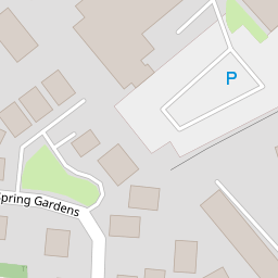
6 Spring Gardens
£ 171,500
Description
We don't have a Description for this property.
- Bedrooms
- 3
- Bathrooms
- 0
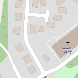

Leaflet © OpenStreetMap contributors
The heatmap indicates the level of crime in the area. The color of the heatmap indicates the crime severity and recency.
Metrics Year-on-Year
- Average area value
- 363,275.00 £Increased by 0.98 %
- Average area rental value
- 922.00 £/moDecreased by 1.28 %
- Est rental Yield
- 3.05 %Decreased by 2.24 %
- Crime Rate
- 0.00 %
from 359,732.00 £
from 934.00 £/mo
from 3.12 %
from 0.00 %
Nearby Schools
| Name | Type | Ofsted | Distance |
|---|---|---|---|
| Rhosddu Primary School | Welsh Establishment | 0.44 KM | |
| Woodlands Children'S Development Centre | Welsh Establishment | 0.81 KM | |
| Ysgol Plas Coch | Welsh Establishment | 0.93 KM | |
| St Mary'S R.C. Primary School | Welsh Establishment | 0.97 KM | |
| St Giles Vc Church In Wales Primary School | Welsh Establishment | 1.23 KM |
Images
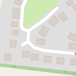
Nearby Streets
| Name | Average Price | Average Sqft | Distance |
|---|---|---|---|
| Albany Terrace | £ 0 | 0 | 0.00 KM |
| Price's Lane | £ 132,500 | 0 | 0.00 KM |
| Lord Street | £ 0 | 0 | 0.00 KM |
| Grange Avenue | £ 180,000 | 0 | 0.00 KM |
| Maes Glyndwr | £ 253,328 | 0 | 0.00 KM |
Nearby Transport
| Name | NLC | TLC | Distance |
|---|---|---|---|
| Wrexham General | 4487 | WRX | 0.40 KM |
| Wrexham Central | 4486 | WXC | 0.65 KM |
| Gwersyllt | 4300 | GWE | 3.07 KM |
| Cefn-Y-Bedd | 2425 | CYB | 6.27 KM |
| Caergwrle | 2536 | CGW | 7.23 KM |
Nearby Listings
| Address | Price | Type | Score | Distance |
|---|---|---|---|---|
| Gerald Street, Wrexham | £ 220,000 | BUY | 5 / 10 | 0.19 KM |
| Gerald Street, Rhosddu, Wrexham | £ 175,000 | BUY | 6 / 10 | 0.20 KM |
| Gerald Street, Wrexham, LL11 | £ 175,000 | BUY | 6 / 10 | 0.20 KM |
| Gerald Street, Wrexham | £ 230,000 | BUY | 5 / 10 | 0.27 KM |
| Rhosddu Road, Wrexham, LL11 | £ 145,000 | BUY | 6 / 10 | 0.28 KM |
Nearby Properties
| Address | Price | Distance |
|---|---|---|
| 42 Spring Gardens | £ 156,000 | 0.00 KM |
| 38 Spring Gardens | £ 180,000 | 0.00 KM |
| 46 Spring Gardens | £ 154,000 | 0.00 KM |
| 59 Spring Gardens | £ 200,000 | 0.00 KM |
| 40 Spring Gardens | £ 210,000 | 0.00 KM |